
THE PLACE
Pause by the water.
Abakola Wewa, also recorded as Ambakolawewa, is an irrigation reservoir in the Ambanpola area of Kurunegala District, in Sri Lanka’s North Western Province. It belongs to the Mi Oya water-management landscape and offers a quieter subject for travellers interested in reservoirs, rural scenery and the island’s irrigation heritage.
Use the Ambanpola and Kurunegala location details when identifying this reservoir: similar names appear elsewhere in Sri Lanka. A general search for “Abakola Wewa” alone may lead to a different body of water.
- Location
- Ambanpola area
- District
- Kurunegala
- Visitor access
- Confirm locally
- Facilities
- Not yet verified
BEFORE YOU GO
Make the most of your visit
Why visit Abakola Wewa?
The reservoir is best approached as a landscape stop rather than a developed attraction with a fixed programme. Where public access is permitted, take time to observe the water, the bund and the surrounding agricultural setting. Photography and an unhurried look at the landscape can fit into a journey through the Ambanpola area.
Its main purpose is irrigation. The Irrigation Department identifies the scheme within its Galgamuwa irrigation division and Kurunegala region. These are operational groupings; the Department of Census and Statistics records the reservoir in Ambanpola Divisional Secretariat. That distinction helps explain why different sources use different location labels.
Planning your visit
- Location: Ambanpola area, Kurunegala District, North Western Province.
- Type: Reservoir and irrigation landscape.
- Access: Confirm the permitted approach and stopping point locally before travelling.
- Opening hours and fees: A current visitor timetable and ticket policy have not been verified.
- Facilities: Parking, toilets, refreshments and step-free access have not been confirmed.
Arrange the final approach with a local driver or accommodation host using the reservoir name and district together. Check the road and access arrangements before committing to the trip, particularly after heavy rain. Bring drinking water and sun protection, and plan to finish in daylight.
Visiting responsibly
Keep to permitted public routes and follow any instructions from irrigation staff. Do not enter sluices, spillways, canals or fenced areas. This guide does not identify an approved swimming or boating area. Leave agricultural access clear, ask before entering private land and take litter away.
EXPLORE THE AREA
Local base & regional destinations
Start with Ambanpola and Maho, then explore the wider region through our destination guides.
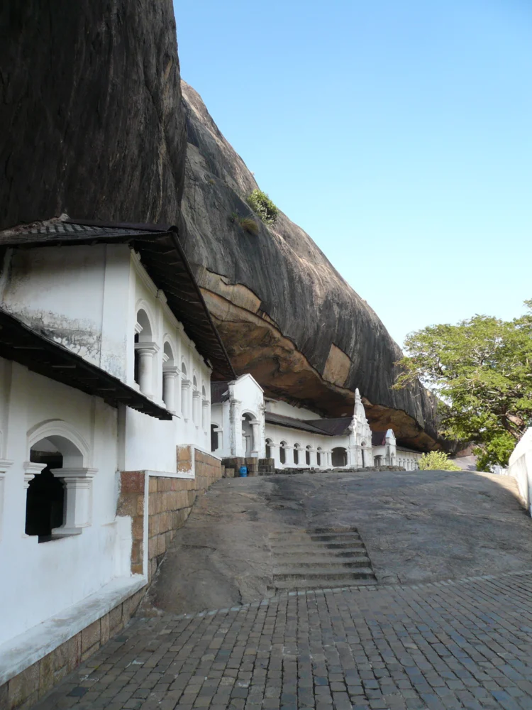
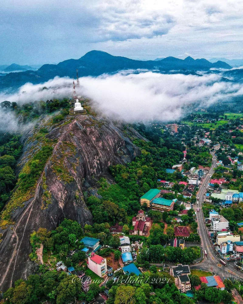
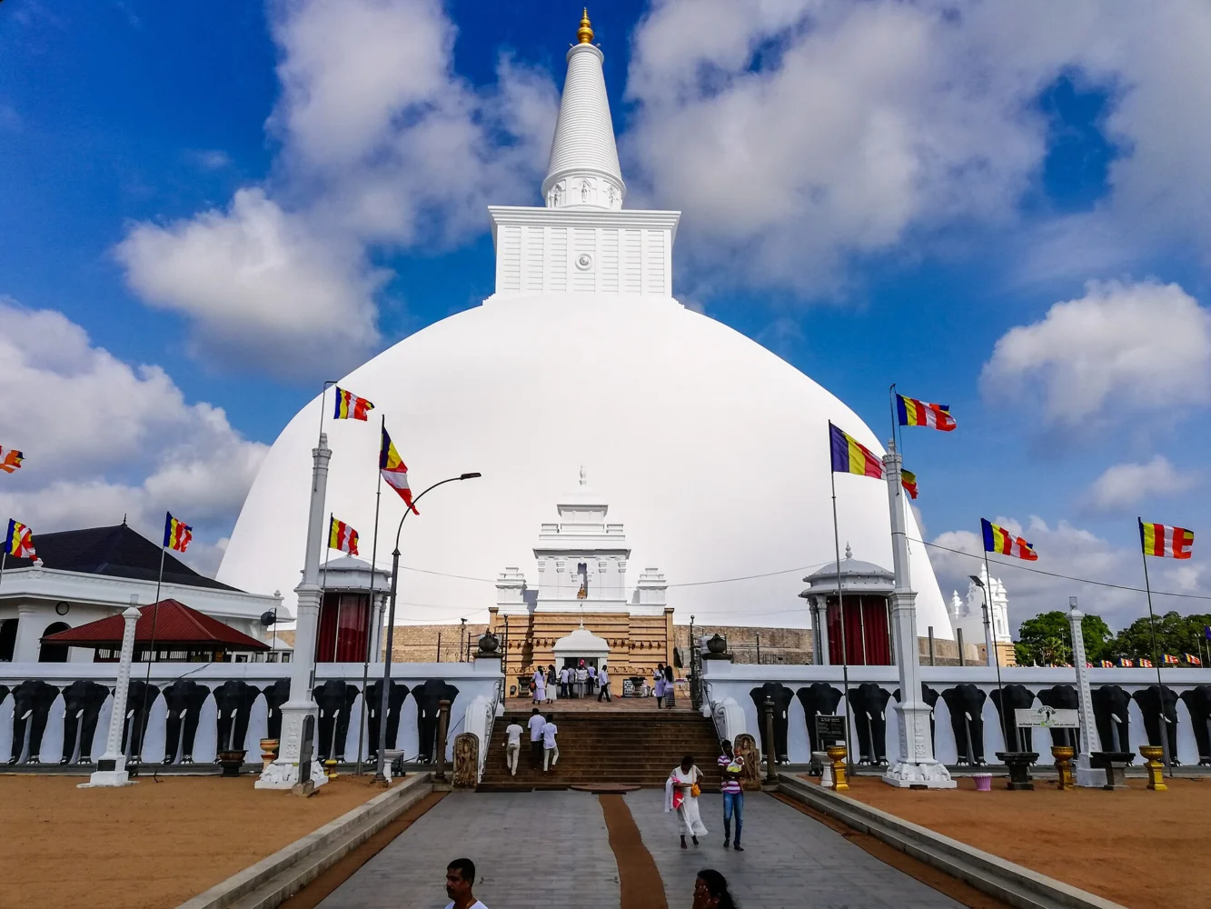
Photos below show the named regional destinations, not Abakola Wewa. Distances are approximate straight-line measurements to town centres; road journeys are longer.
KEEP EXPLORING
Places to visit in the wider area
Selected from our published attraction guides. Distances refer to the associated town centre, not the attraction entrance.
40.5 km to Dambulla centre
Dambulla Cave Temple
Read the visitor guide and check access before travelling.
40.5 km to Dambulla centre
Ibbankatuwa Megalithic Tombs
Read the visitor guide and check access before travelling.
52.9 km to Sigiriya centre
Pidurangala Rock
Read the visitor guide and check access before travelling.
STAY A LITTLE LONGER
Stay in Maho & Kurunegala District
Accommodation already listed on Sri Lanka Travel Picks, with Maho shown first.
Exact distances to these properties are not available. Confirm location, availability and rates directly before booking.
Maho
Hotel Yapahuwa Paradise
View the property listing and confirm the exact location and current availability.
Kurunegala
Hotel Athgiri
View the property listing and confirm the exact location and current availability.
Melsiripura
Soba Lanka Holiday Resort
View the property listing and confirm the exact location and current availability.
A LITTLE LOCAL KNOWLEDGE
The story & practical details
Understanding the reservoir
The Irrigation Department’s October 2022 scheme map places Abakola Wewa in the Mee Oya river basin and records a bund approximately 1,062 metres long. It also maps the tank, canals and irrigated land. These details give useful context for understanding the landscape without assuming that the entire bund or engineering structures are open to visitors.
Water levels and the appearance of the shoreline change. Photographs from another season may not reflect the conditions on the day of your visit.
Map reference
View the reservoir reference point on Google Maps. This approximate location was converted from the Irrigation Department’s published Sri Lanka Grid coordinates. It identifies the reservoir scheme, not a verified visitor entrance, parking area or driving route.
Other places to consider
Gurugoda Archaeological Site is described in published heritage research as lying near the reservoir. Confirm its separate approach and access before adding it to your outing. Proximity on a map does not establish a walkable route.
For wider planning, browse the Kurunegala destination guide or the Sri Lanka attraction directory.
Sources and location reference
- Irrigation Department: Kurunegala region scheme list.
- Irrigation Department: Abakola Wewa scheme map, October 2022.
- Department of Census and Statistics: reservoir location table.
- LankaPradeepa: Abakola Wewa heritage reference.
Sources reviewed: 28 October 2026. Visitor access and facilities require local confirmation.
Photography credits
The regional photographs are existing WebP versions from our media library. Each is labelled with its actual location.
- Dambulla: Lankapic · CC BY 2.5.
- Kurunegala: Sandaruwan Rajapaksha 2003 · CC BY-SA 4.0.
- Anuradhapura: Thisaru Tharuka · CC BY-SA 4.0.


Images resized and converted to WebP. Share-alike versions retain their original licences.